Special Weather News Issued at 7 pm MST on 5 July 2025
News Image
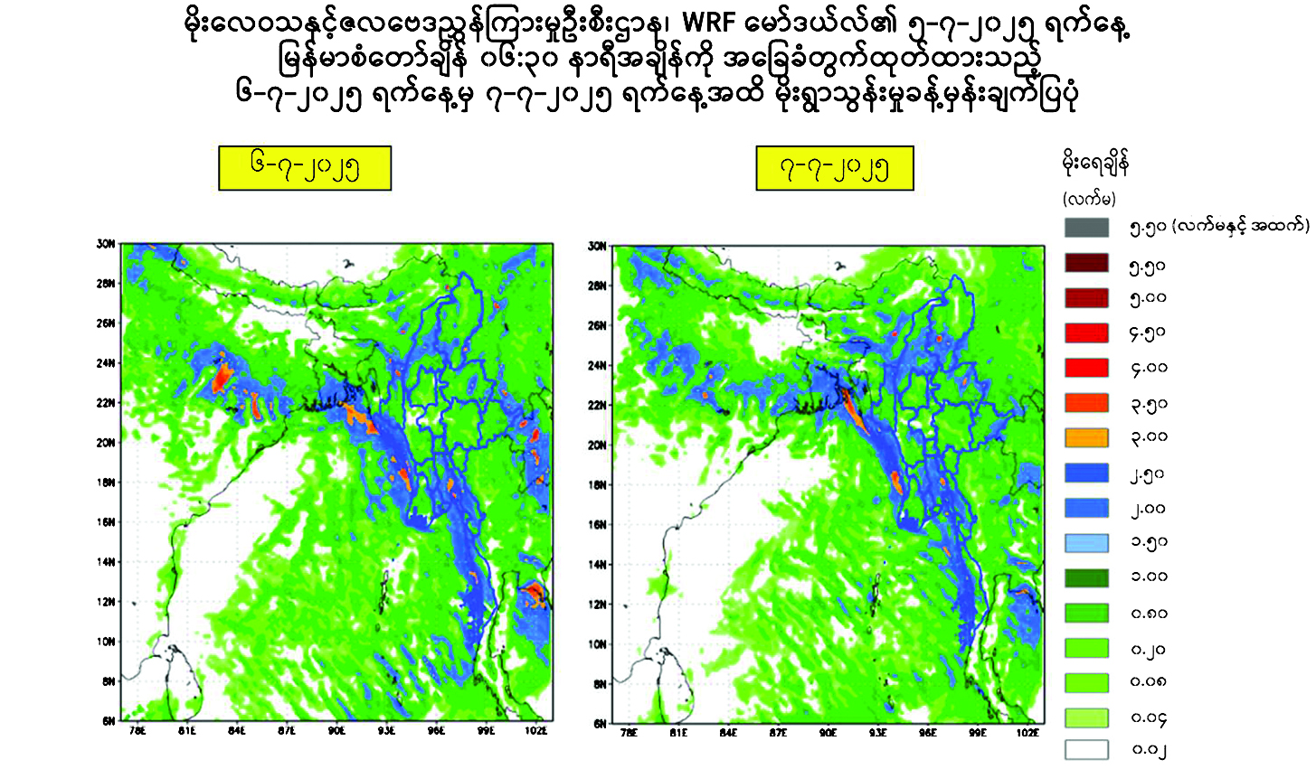
ACCORDING to the observations at 5:30 pm MST today, monsoon is moderate to strong over the Andaman Sea and Bay of Bengal, due to the easterly waves and westerly waves, rain or thundershowers will be scattered in Mandalay, Magway and lower Sagaing regions and Kayah State, fairly widespread to widespread in Nay Pyi Taw, Yangon, Bago, upper Sagaing, Ayeyawady and Taninthayi regions and Kachin, Kayin, Chin, Mon, Rakhine and Shan states with regionally and isolated heavy falls during tonight to 7 July 2025. Occasional squall with rough seas will be experienced in the Deltaic, off and along the Rakhine Coasts. Surface wind speed in squalls may reach 35 miles per hour. Wave height will be about 11-13 feet in the Deltaic, off and along the Rakhine Coasts. Squalls with moderate to rough seas are likely at times in Gulf of Mottama, off and along Mon-Taninthayi Coasts. Surface wind speed in squalls may reach 25-30 miles per hour. Wave height will be about seven to nine feet in the Gulf of Mottama, off and along the Mon-Taninthayi Coasts.
Advisory
People should be aware of natural disasters such as the heavy rainfall with strong wind, thunder, lightning strik, lightning, hails, flash floods and land slides in the hilly areas and near small rivers and to make necessary preparations for inland water transport, domestic flights and irrigation dams. — DMH
GNLM